The Mount Victoria Lookout Walkway takes you to the top of the hill you see when looking east from the CBD. Given its location, it makes for a great walk that should be on everyone’s Wellington itinerary (if the weather is okay!).
This post will cover:
- my favourite route to the Mount Vic peak (196 metres high)
- alternative ways to get there
- a couple of safety concerns, and
- other bits of information you might find useful.
My Favourite Way To Hike To The Mount Victoria Lookout
Note: I’d give this Mt. Vic walk an easy-moderate difficulty rating. Depending on which way you walk down, you could make this a loop walk.
Starting Point: The eastern end of Courtney Place, right here.
- Continue heading east where the road switches to Majoribanks Street
- Take the first left onto Roxburgh Street and follow it around the corner
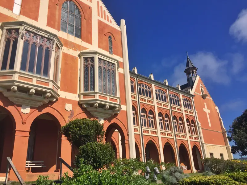
- Take the left onto McFarlane Street and walk until you come to the church
- There’s a path that loops around the church, or you can take the stairs next to it up to Moeller Street
- Take a right when you see this entrance on your right-hand side (next to the Bay View Terrace turn off)
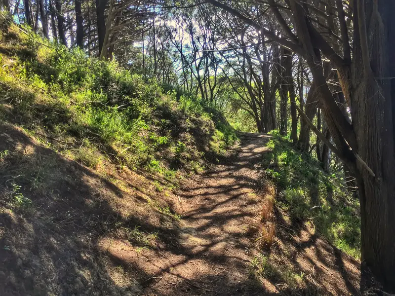
Now you’re in the forest!
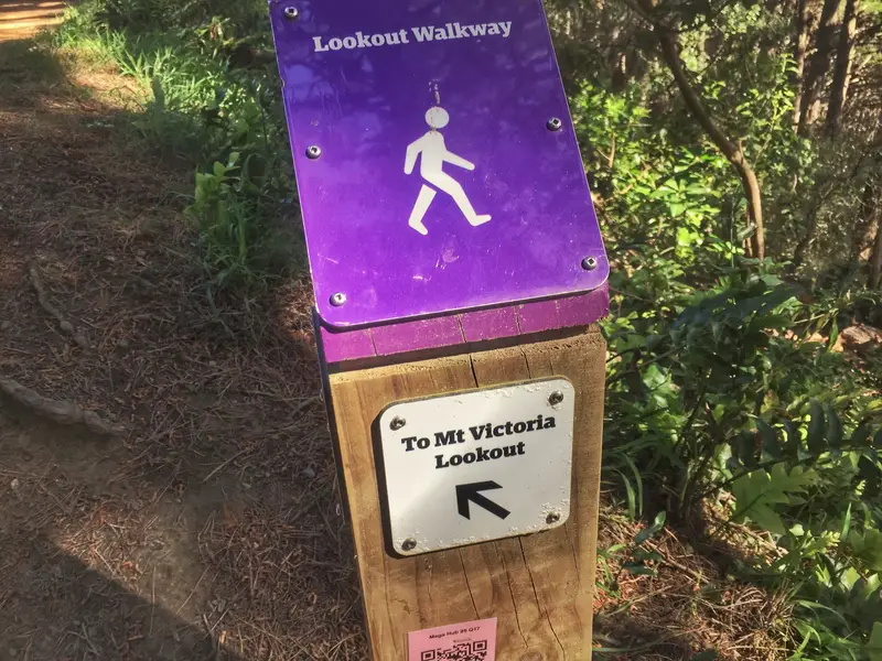
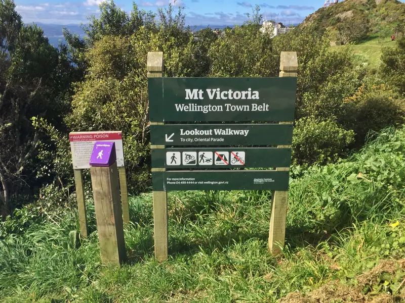
From here, follow the purple signs (see the photo below) to the lookout. They’re frequent enough so you won’t get lost (the trails are clear). There are a bunch of different ways you can go up, so feel free to go follow other paths if you want. As long as you keep going up!
And if you’d like to see it on a map, this is the path to the forest entrance.
What happens at the top?
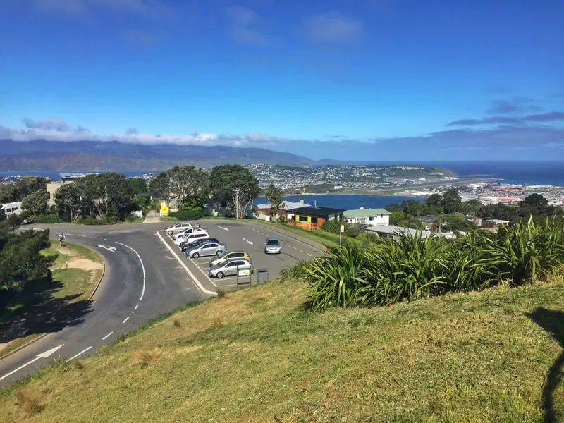
When you first get to the top, you might cry a little when you see the carpark, knowing you didn’t have to walk all the way up (but it’s totally worth it).
Head to the platform at the top which has a few information boards letting you know what you’re looking at.
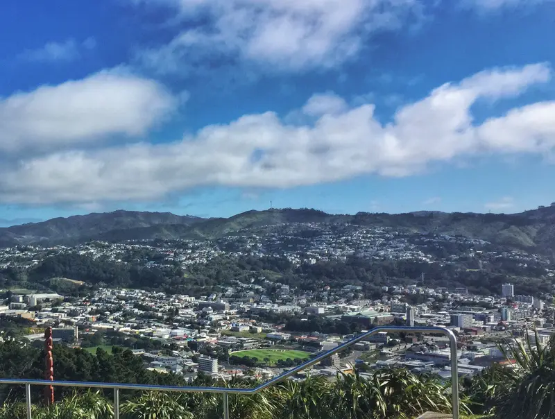
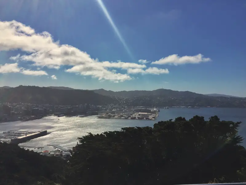
You get 360-degree views, with the airport, Cook Straight, Basin Reserve, CBD, and harbour all visible. These are all places you’ll probably experience while you’re in the city.
Why do I like going this way?
- The St. Gerards Church and Monestary is gorgeous
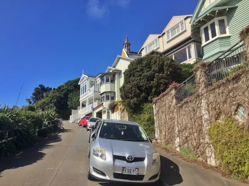
- You get to see some houses in a wealthy Wellington suburb (many in the old Victorian architecture)
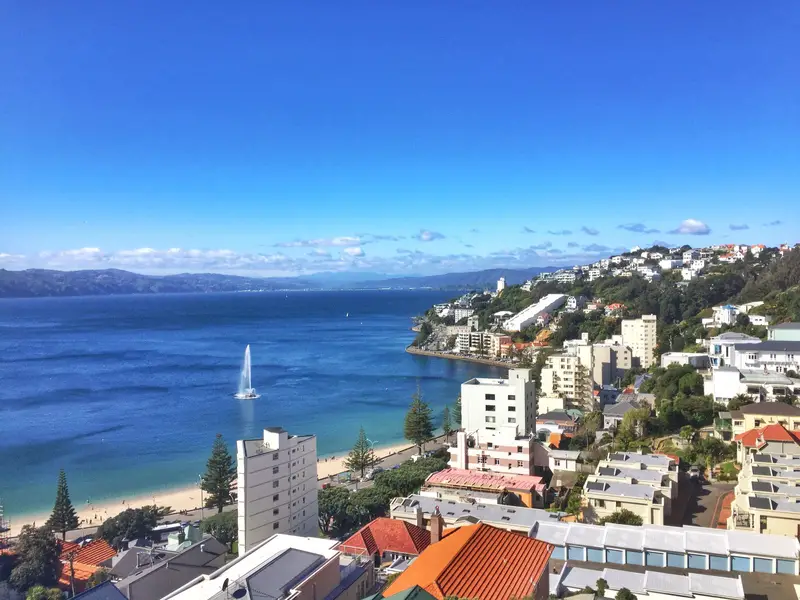
- Plenty of views along the way
- Tracks are easy to follow
How Long Does It Take & When Is The Best Time To Visit?
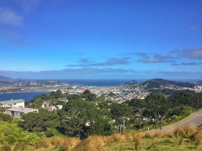
Looking out towards Wellington Airport and the Cook Strait from the Mt. Vic summit
If you follow the track I have listed, you could be up and down in as little as an hour. But you should chill at the top for a while, you could even take a picnic. If you’re planning to get photos, the morning will give you the best shots of the CBD and harbour. In the afternoon, you’ll get views of the mountains in the northeast (trails galore there) and the airport.
Alternative Ways to Get To Mt. Vic Lookout
Other Walking Routes: There are a bunch of ways you can get to the lookout. You could start the incline from beginning of the Southern Walkway or the entrance from the Newtown end of Mount Vic which starts from Owen Street. Pick the trail that’s most convenient for you.
Bus: You can catch the no. 20 bus from Courtney Place that will take you to the Mount Victoria Terminus. You can view the timetable here.
Car: There is a car park close to the top of the Mt. Victoria Lookout if you please.
A Couple Of Safety Concerns
This Mount Victoria walk is great, enjoy the views from the lookout!
MORE WELLINGTON WALKS:


Goodness it’s Windy in Wellington Jub. The flight in from Christchurch was pretty darn bumpy. I knew beforehand it is the windiest city on earth. Paeka up the road was really windy too. I enjoyed it but still, intense sometimes.
That path above looks like the spot where the Hobbits first met the Nazgul. I know it was filmed at Mount Victoria.
Rocking post bro, as always.